
Spatial Sciences Center
Mission Statement
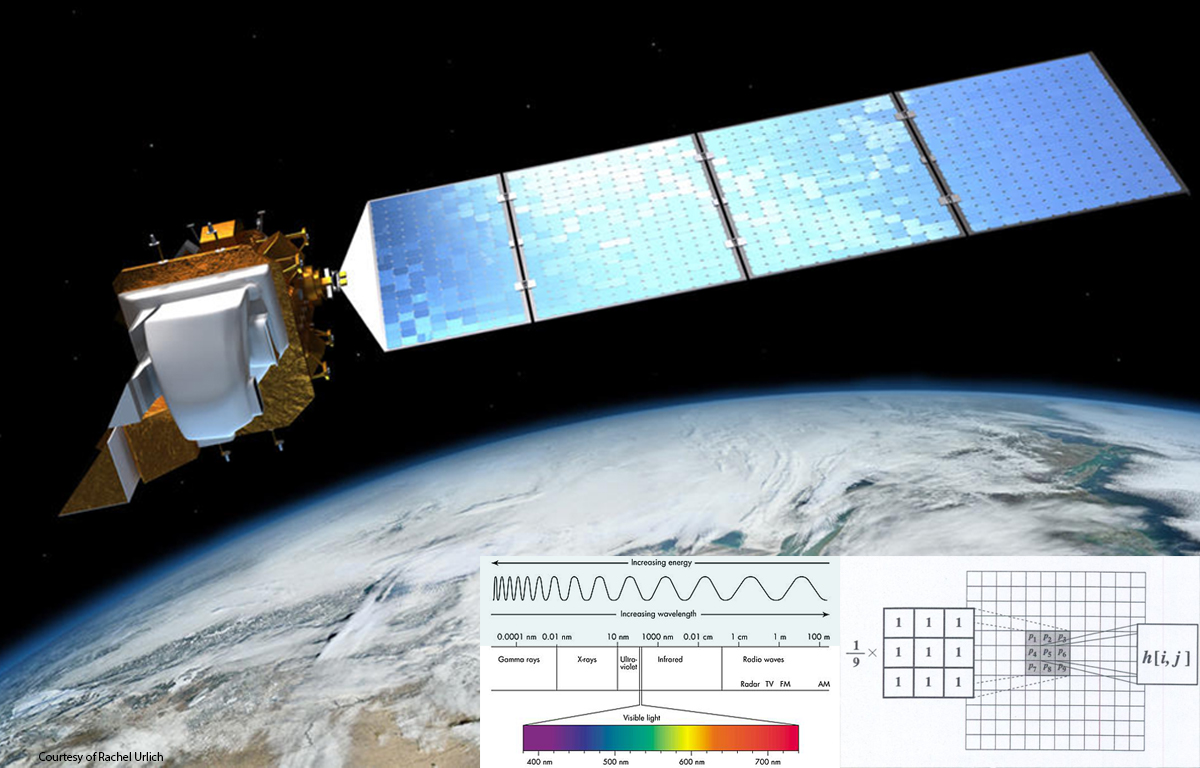
The Spatial Sciences Center's (SSC) mission is to (1) promote and support basic and applied research incorporating geographic information science, remote sensing, global positioning system, and spatial analysis, (2) support and facilitate undergraduate and graduate courses in spatial sciences offered through several departments across MSU, and (3) promote the application of spatial sciences at MSU through outreach to faculty, students, and staff.
   |
Spatial sciences applications available in the 209 Leon Johnson Hall Spatial Sciences Instructional Computer Lab. |
Software Availability and Support for Spatial Sciences
- If you are an MSU student, staff, or faculty and would like access to ESRI's ArcGIS Pro or ArcGIS Online, or other spatial sciences applications for teaching or research, please email agithelp@montana.edu.
- If you are an enrolled MSU student and need access to ESRI's ArcGIS Pro and ArcGIS Online for coursework only, please proceed to the following documents: Instructions to acquire an ArcGIS Online account and how to log in using Single Sign On. Instructions to download, install, and activate ArcGIS Pro. If you need assistance with the readability of the instructions, please email agithelp@montana.edu.
- Note that ArcGIS Online accounts are Disabled when one is no longer enrolled at Montana
State University. If one wishes to transfer content to an ESRI personal account,
please proceed to the following link: https://www.esri.com/en-us/arcgis/products/arcgis-for-personal-use/buy Please reach out to ESRI for support for the personal account.
Announcements:
-
Congratulations to the 2025 MontanaView Remote Sensing Fellowship Winners!
- Montana State University:
- Simon Fordyce (advisor Eric Sproles in Earth Sciences), Communicating microwave remote sensing concepts to agricultural producers
- Mary O'Flaherty (advisor Andrew Laskowski in Earth Sciences), Employing machine learning algorithms for snow water equivalent (SWE) estimation and snowpack monitoring in the Absaroka-Beartooth Wilderness, Montana
- Jayden Skelly (advisor Justine Becker in Ecology), Matching remotely sensed precipitation rates with pronghorn GPS data
- Montana State University:
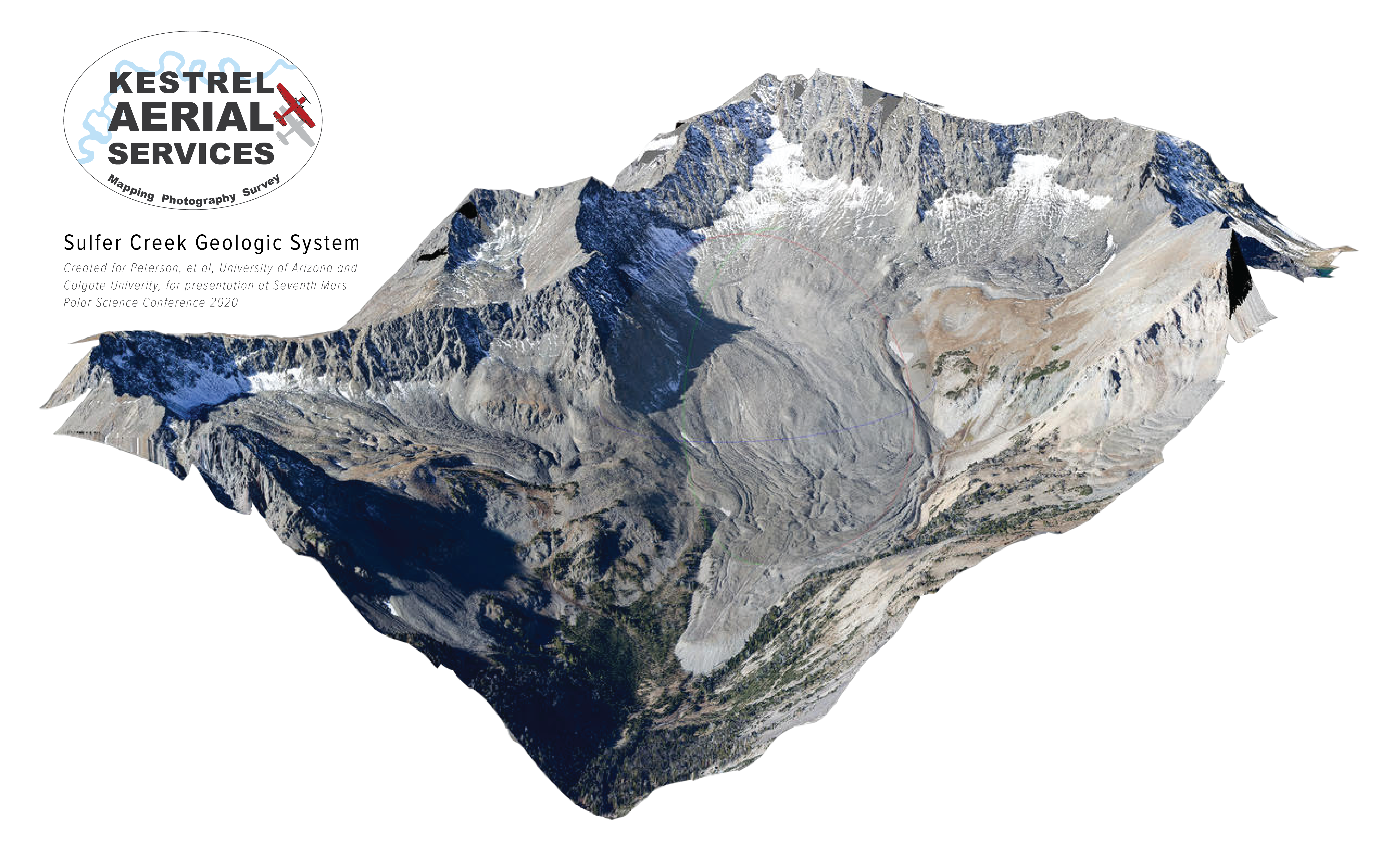 Chris Boyer of Kestrel Aerial Services offers mapping, photography, survey services, as well as an aerial platform adaptable
to various sensors. The services include rapid deployment (typically less than three
days) throughout the Northern Rockies. Kestrel's manned aircraft allows for efficient
coverage of large areas of rugged and remote terrain. Chris is eager to support folks
working on progressive, thought-provoking projects. For more information, please go
to http://kestrelaerial.com/, or contact Chris Boyer (Founder/Pilot) at chris@kestrelaerial.com, (406) 580-1946.
Chris Boyer of Kestrel Aerial Services offers mapping, photography, survey services, as well as an aerial platform adaptable
to various sensors. The services include rapid deployment (typically less than three
days) throughout the Northern Rockies. Kestrel's manned aircraft allows for efficient
coverage of large areas of rugged and remote terrain. Chris is eager to support folks
working on progressive, thought-provoking projects. For more information, please go
to http://kestrelaerial.com/, or contact Chris Boyer (Founder/Pilot) at chris@kestrelaerial.com, (406) 580-1946.-
Rick Lawrence receives lifetime achievement award for work in remote sensing!