
By Peter Kolb, PhD - MSU Extension Forestry Specialist

Clouds are more complicated than a person might think. They are labeled based on three Latin names:

Cirrus - which means “curl of hair” and describes wispy and extensive clouds
Stratus - which means “spread out” and describes extended horizontal sheets of clouds, and
Cumulus - which means “heaped” and describes piles of puffs or ball-shaped clouds


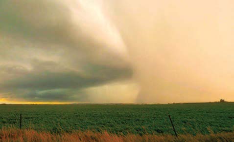
Dark storm clouds sweep across a cultivated field, with a visible rain shaft descending from the cloud base near the horizon.

1

1. Squall line Nimbostratus: a line of thick clouds often
being driven by an approaching cold front. Expect high winds, thunderstorms and rain.

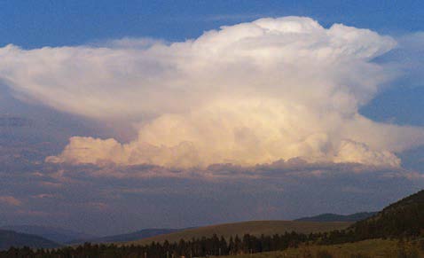
A large cumulonimbus thunderstorm cloud rises high above a landscape of rolling hills and scattered trees. The cloud has a towering vertical structure with a broad, flattened anvil-shaped top, characteristic of a mature thunderstorm.

2

Cumulonimbus (0-50,000 ft. altitude): one of the few clouds that span lower, middle and high elevations. Typically forming an anvil shape as rising humid air hits high-elevation winds, these are thunderstorm clouds that can form into supercells that bring severe winds, lightning and downpours.

A broad expanse of relatively calm sky with textured cloud formations over open farmland.

3

Cirrocumulus (6-20,000 ft. altitude): small puffs to
more dense fish scale formations that result from high-elevation ice cloudlets, indicating fair weather and high-pressure systems. In winter, they may be associated with very cold temperatures. Cloud puffs will appear smaller than your thumb on an outstretched hand; if they are larger, they are Stratocumulus.
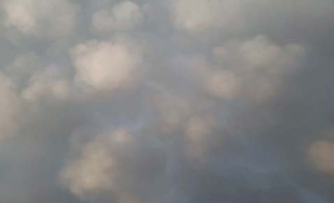
Mammatus clouds hang beneath a gray cloud layer, forming rounded, pouch-like lobes across most of the sky. The cloud bases are softly illuminated and vary in size, creating a textured appearance against a darker gray background.

4

Mammatus clouds: these pouch-like clouds are uncommon but are associated with severe thunderstorms, often sitting on the base of a cumulonimbus cloud. They signal a definite risk of very severe weather and the need to find shelter quickly.

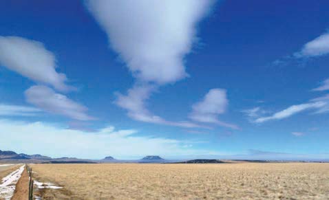
Elongated clouds stretch across a bright blue sky above a flat, open grassland.  The smooth, layered cloud formations appear lens-shaped and aligned with atmospheric airflow over the landscape.

5

Altocumulus (6,000 ft. or lower altitude): some of the
most common clouds in the world, they often appear in
parallel formations of varying density. Commonly seen during warm, humid mornings, these clouds may signal an onset of thunderstorms and cold fronts. These are often associated with changes from a low-pressure to a
high-pressure system. They can result in isolated, short- duration rains.
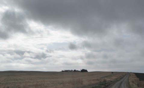
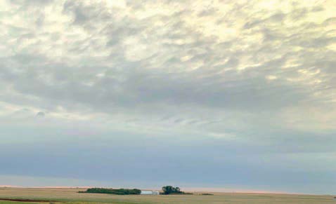
Dark gray stratocumulus clouds cover most of the sky above a broad agricultural field. Breaks in the cloud cover allow limited light through, creating contrasting areas of bright and shadowed sky over the open terrain.

6

Altostratus (6,000 ft. or higher altitude): they often
form a uniform, grey blanket. They may offer a light rain, but due to their height, the rain may evaporate before reaching the ground. They rarely produce heavy rain.

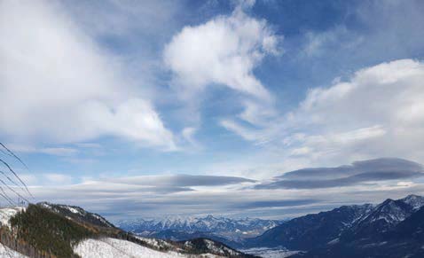
Several smooth, lens-shaped dark gray clouds stretch horizontally across the lower altitudes of a blue sky. Above them, fluffy white clouds dot the sky. Snow-covered peaks and forested slopes frame a broad valley in the distance.

7

Cumulus and Stratocumulus (6,000 ft. or lower altitude): higher, puffy, cotton-ball-shaped clouds are often referred to as “good weather” clouds. Lower-altitude, darker cumulus can look threatening, but if they produce any rain, it is usually a light, localized drizzle.

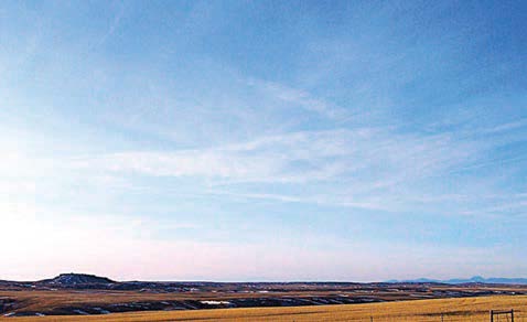
Thin cirrostratus clouds form a light, wispy veil across a blue sky above rolling grasslands and distant hills. The scene illustrates high, thin cloud layers.

8

Cirrus/Cirrostratus (18,000 ft. or higher altitude ribbons): these high elevation clouds contain ice crystals rather than water vapor. They can form well ahead of warm fronts and large storms, and led to the sailor phrase “mares tails make tall ships carry low sails (preparing for storms).

Often called “popcorn” convection, single-cell thunderstorms are small, brief, weak storms that grow and die within an hour or so. They are typically driven by warming on a summer afternoon. Single-cell storms may produce brief heavy rain and lightning.

A multicell storm is a common, garden-variety thunderstorm in which new updrafts form along the leading edge of rain-cooled air (the gust front). Individual cells usually last 30 to 60 minutes, while the system may last for many hours. Multicell storms may produce hail, strong winds, brief tornadoes, and/or flooding.

A squall line is a group of storms arranged in a line, often accompanied by “squalls” of high wind and heavy rain. Squall lines tend to pass quickly and are less prone to produce tornadoes than supercells. They can be hundreds of miles long but are typically only 10-20 miles wide.

A supercell is a long-lived (greater than one hour) and highly organized storm feeding off an updraft (a rising current of air) that is tilted and rotating. This rotating updraft - as large as 10 miles in diameter and up to 50,000 ft. - can be present as long as 20-60 minutes before a tornado forms. Scientists call this rotation a mesocyclone when it is detected by Doppler radar. The tornado is a very small extension of this larger rotation. Most large and violent tornadoes come from supercells.